Franklin County Radon, From the Rock Up
Franklin County radon has a geologic story, and the state geological survey wrote it down. It starts with a black shale, runs through the glaciers that once covered central Ohio, and ends under the floor of a Columbus house.
Franklin County is EPA Radon Zone 1, with a predicted average indoor screening level above 4 pCi/L. A 1993 Ohio Geological Survey study of 10,020 Franklin County readings found a median of 7.0 pCi/L, and ODH says about half of the Ohio homes tested each year are elevated.
What does Zone 1 mean, and what doesn't it mean?
EPA drew its map of radon zones in 1993 from indoor measurements, geology, aerial radioactivity, soils and foundation types. Zone 1 counties have a predicted average indoor screening level above 4 pCi/L; Zone 2 sits between 2 and 4, and Zone 3 below 2. In central Ohio, Franklin and its neighbors Delaware, Licking, Fairfield, Pickaway, Madison and Union are all Zone 1. EPA is clear about the limit: the map targets public programs and should not be used to decide whether one house needs testing. Every home should be tested, in any zone.
Where does central Ohio's radon come from?
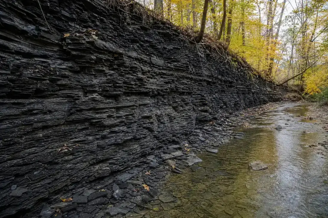
Radon comes from the decay of uranium, and the only rock unit in Ohio shown to be rich in uranium is the black Ohio Shale, with 10 to 40 parts per million and up to 500 feet thick in central Ohio (Ohio Geological Survey, Report of Investigations 144). Its outcrop runs south through the middle of the state. As the last glaciers moved across it, they broke off fragments and mixed them into the till they left behind. The survey concluded that this glacial till, more than the bedrock directly under each house, is the main source of radon in Ohio, with most problem areas in the central and western parts of the state.
What did 10,020 Franklin County readings show?
- Median: 7.0 pCi/L, so half the readings were higher.
- Middle half: 3.8 to 12.7 pCi/L, meaning three in four readings were 3.8 or higher.
- Range: 0.1 to 1,333.9 pCi/L, which is why a neighbor's result says little about yours.
- Next door: Licking County had the highest county average in Ohio, a geometric mean of 11.5 pCi/L.
These readings were gathered before 1993, in different rooms and seasons, so treat them as a picture of the area's geology rather than today's levels. ODH's current figure is that about half of the Ohio homes tested each year come back elevated, and elevated levels turn up in every county.
What should a Columbus homeowner do with this?
Test, whatever the map says. ODH recommends testing every occupied ground-contact building in Ohio and retesting every two years or after renovations that change airflow. If the result is high, the fix is the same engineering anywhere; the local geology changes only how often it is needed. Start with radon testing and what your number means, then compare methods in the Columbus radon mitigation cost guide.
Tell us where things stand
Share what you know so far: a test result, a closing date, or just the kind of foundation the house sits on. One independent radon mitigation specialist who works around Columbus gets back to you about next steps.